Pikes Peak Highway
Cascade, CO → Pikes Peak summit · ~19 miles to the summit · half day
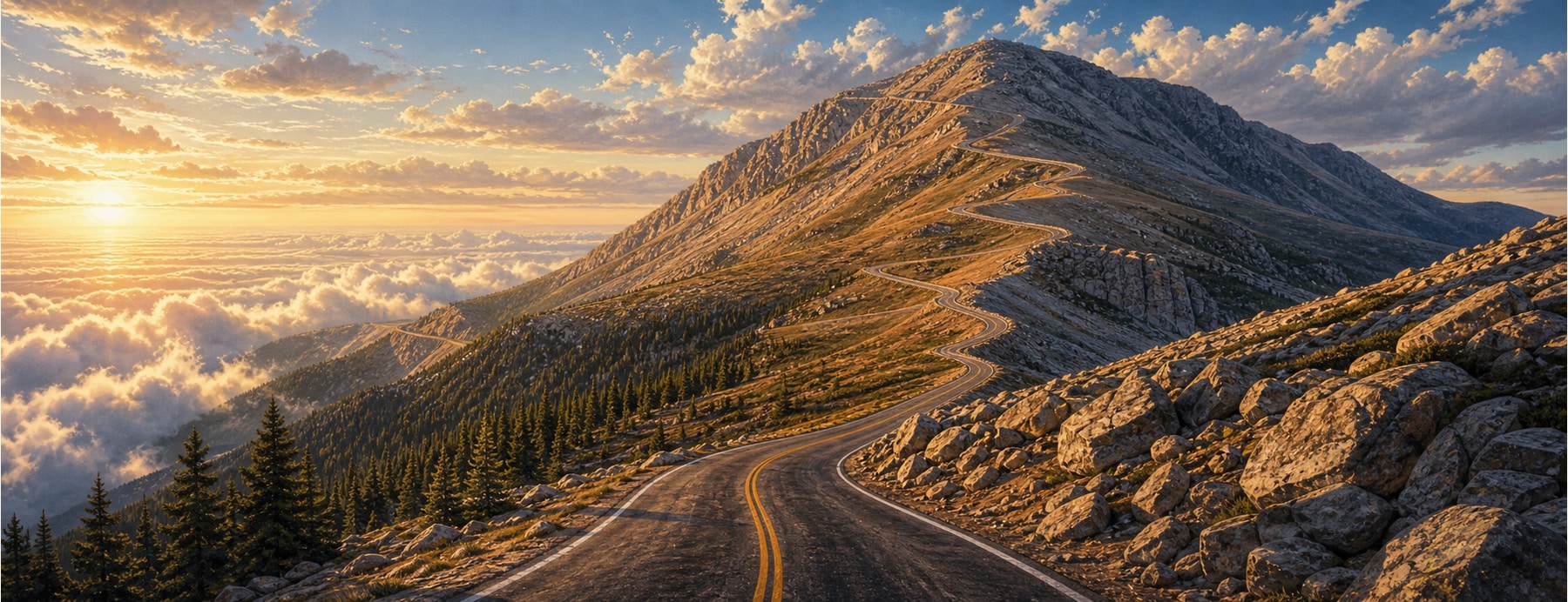
The Pikes Peak Highway is a toll road that climbs from the foothills near Cascade to the 14,115-foot summit of Pikes Peak — “America’s Mountain,” the view that inspired “America the Beautiful” and the namesake of the famous hill-climb race.
Good to know: A toll applies, and a timed-entry permit is required to drive to the summit from late May through Sept 30 — reserve ahead. The upper road closes for snow; use low gears on the descent.
Drive to the top of a 14,000-foot summit.
You can steer your own car to the top of a Colorado Fourteener, switchbacking above the treeline to a summit view over the whole Front Range.
States on this route
The signature stops
What to pull over for.
Plan the drive
Build your Pikes Peak Highway trip.
Roamward turns the route into a real itinerary — the scenic line, the gems worth a detour in every state, and where to stay. Join early access for the iOS beta.
Build a trip around a drive like this.
Roamward turns spots like this into a real road trip on your phone — the scenic drive, the stops, and the detours, planned around the vibe you’re after. Get early access: