Denali Highway
Paxson → Cantwell, AK · 135 miles · a full day
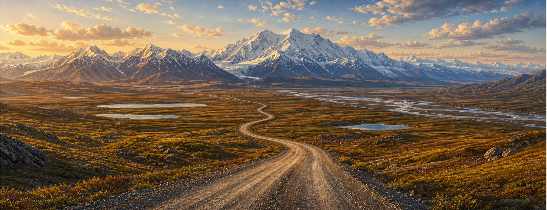
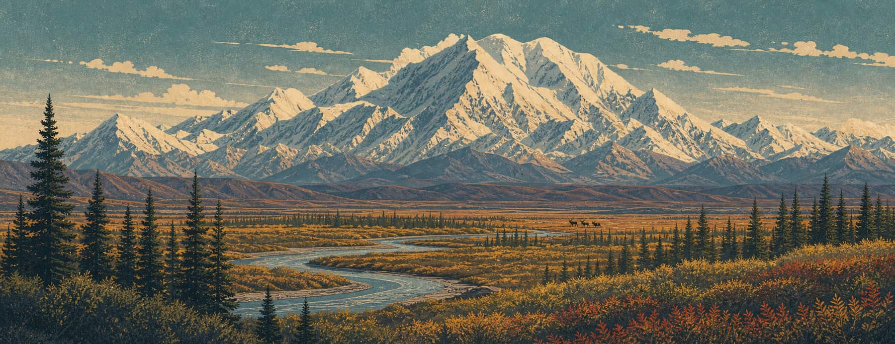
The Denali Highway runs 135 mostly-gravel miles across the southern flank of the Alaska Range between Paxson and Cantwell. Before the Parks Highway opened in the 1970s it was the only road to Denali, and it still crosses immense, almost empty tundra of lakes, foothills, and glacier views.
Good to know: Mostly gravel and closed in winter (roughly October–mid-May, snowed in). Few services and no cell coverage for long stretches — carry a spare tire, fuel, and supplies.
A wild gravel byway under the Alaska Range.
Big wildlife, bigger silence, and almost no traffic — one of Alaska’s great backcountry drives, with the Alaska Range filling the windshield.
States on this route
The signature stops
What to pull over for.
 05Cantwell & Denalithe western end at the Parks Highway, gateway to Denali — open the guideAK
Plan the drive
Build your Denali Highway trip.
Roamward turns the route into a real itinerary — the scenic line, the gems worth a detour in every state, and where to stay. Join early access for the iOS beta.
Build a trip around a drive like this.
Roamward turns spots like this into a real road trip on your phone — the scenic drive, the stops, and the detours, planned around the vibe you’re after. Get early access: