The Dalton Highway
near Fairbanks → Deadhorse, AK · 414 miles · 2+ days each way
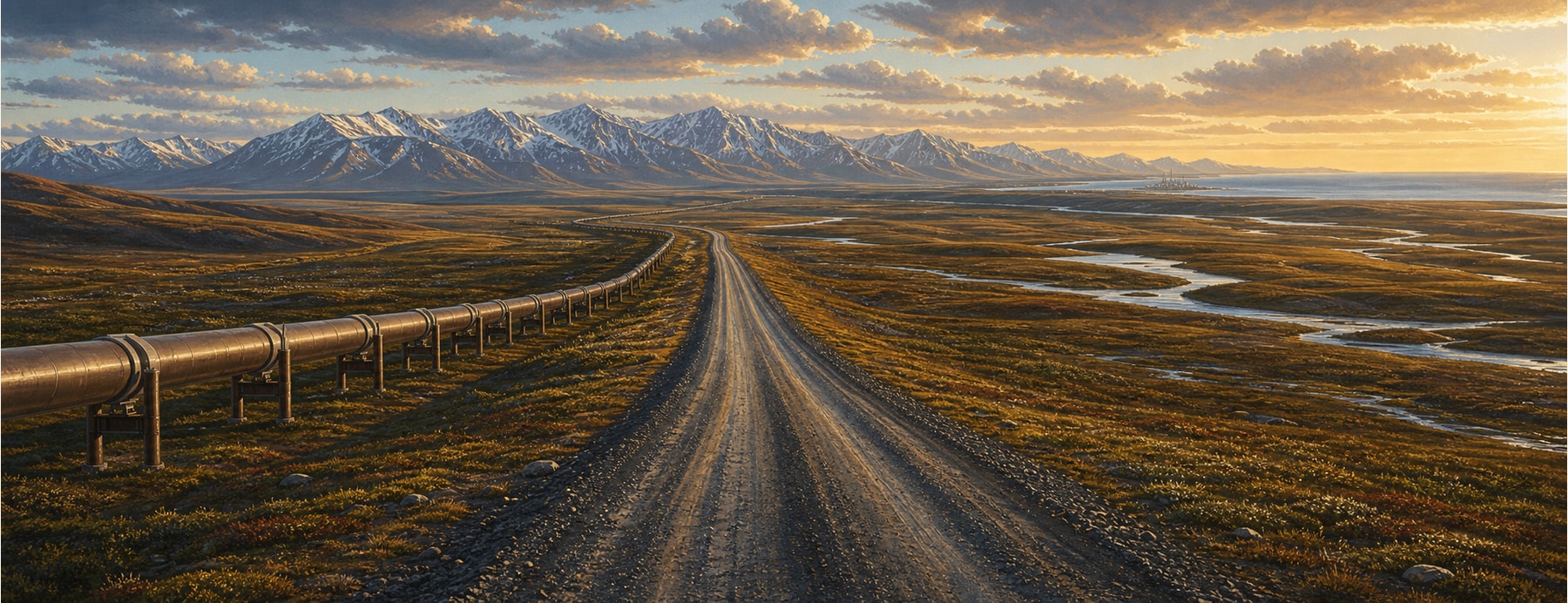
Built in 1974 to supply the Trans-Alaska Pipeline, the Dalton Highway runs 414 mostly-gravel miles north from near Fairbanks — across the Yukon River and the Arctic Circle, over the Brooks Range, and onto the treeless North Slope to Deadhorse at Prudhoe Bay. It’s the only road in the U.S. that crosses the Arctic Circle and reaches the Arctic Ocean.
Good to know: Mostly gravel, extremely remote, and genuinely hazardous: heavy truck traffic, fuel only at Yukon River / Coldfoot / Deadhorse, and no cell service. Carry two spare tires and supplies; many rental contracts forbid it, and reaching the Arctic Ocean at Deadhorse requires a pre-booked tour.
The gravel haul road to the Arctic Ocean.
The legendary “haul road” to the top of the continent — pipeline, Arctic Circle, the Brooks Range, and the oil fields on the Arctic Ocean.
States on this route
The signature stops
What to pull over for.
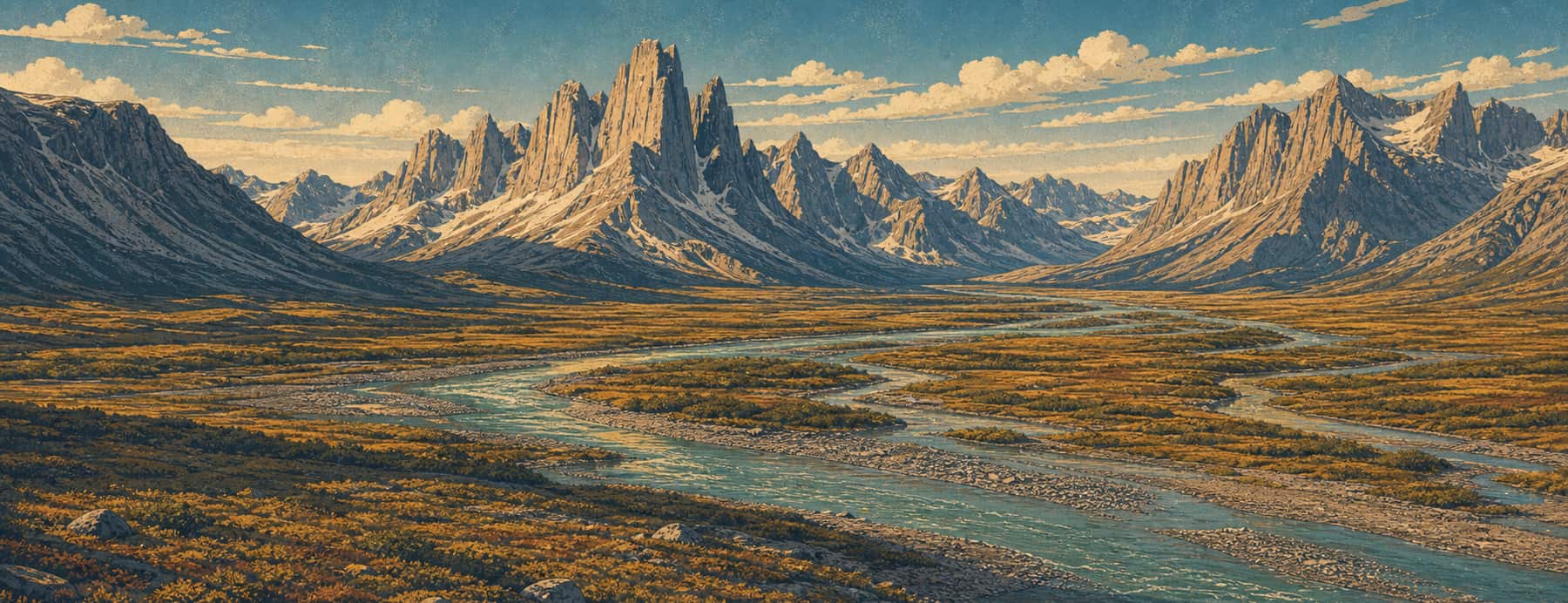 03Coldfoota tiny truck stop and the gateway to Gates of the Arctic — open the guideAK04Atigun Passthe highest highway pass in Alaska, over the Brooks RangeAK05Deadhorse / Prudhoe Baythe oil-field end near the Arctic OceanAK
Plan the drive
Build your Dalton Highway trip.
Roamward turns the route into a real itinerary — the scenic line, the gems worth a detour in every state, and where to stay. Join early access for the iOS beta.
Build a trip around a drive like this.
Roamward turns spots like this into a real road trip on your phone — the scenic drive, the stops, and the detours, planned around the vibe you’re after. Get early access: