Sawtooth Scenic Byway
Shoshone → Stanley, ID · ~116 miles · a day
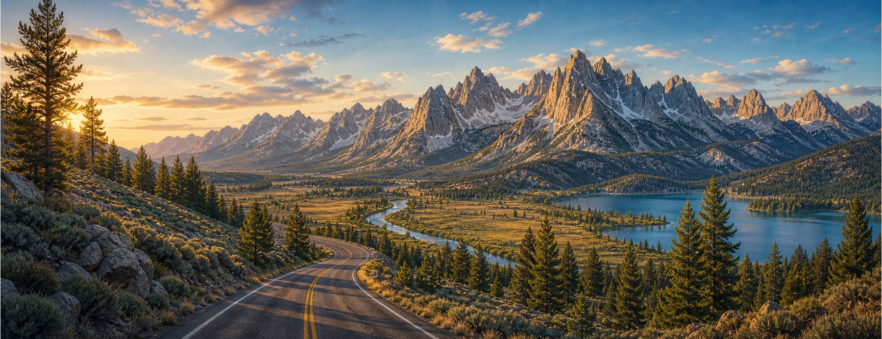
Idaho Highway 75 runs about 116 miles from the Snake River Plain up over 8,701-foot Galena Summit and down into the Sawtooth Valley, beneath the serrated peaks of the Sawtooth Range, passing the resort towns of Ketchum and Sun Valley on the way to the mountain hub of Stanley.
Good to know: Galena Summit sees snow and winter driving conditions in the shoulder seasons — carry chains. The Sawtooths are a National Recreation Area, with alpine lakes and trailheads right off the road.
To the foot of Idaho’s jagged Sawtooths.
It delivers you to one of the most dramatic mountain skylines in the Lower 48 — the jagged Sawtooths above the Salmon River headwaters.
States on this route
The signature stops
What to pull over for.
Plan the drive
Build your Sawtooth Byway trip.
Roamward turns the route into a real itinerary — the scenic line, the gems worth a detour in every state, and where to stay. Join early access for the iOS beta.
Build a trip around a drive like this.
Roamward turns spots like this into a real road trip on your phone — the scenic drive, the stops, and the detours, planned around the vibe you’re after. Get early access: