Lake Tahoe Loop
Lake Tahoe loop, CA/NV · ~72-mile loop · a day
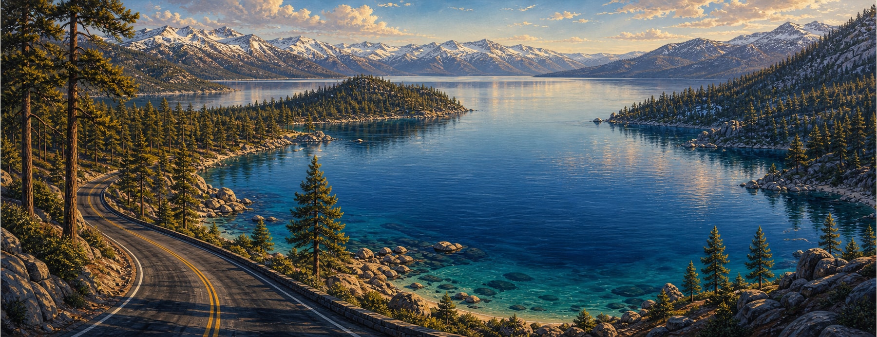
A single loop circles Lake Tahoe — the largest alpine lake in North America and the second-deepest lake in the U.S. — straddling the California–Nevada line at 6,225 feet. The drive strings together granite coves, a Scandinavian castle, and Tahoe’s only island.
Good to know: Hwy 89 at Emerald Bay can close in winter (avalanche risk), breaking the loop; carry chains in snow season. Sand Harbor needs a day-use parking reservation in summer, and Emerald Bay’s lot fills early.
All the way around the bluest alpine lake.
Wrap around cobalt water ringed by Sierra granite, from Emerald Bay’s overlook to Sand Harbor’s turquoise shallows, crossing two states without leaving the shore.
States on this route
The signature stops
What to pull over for.
Plan the drive
Build your Lake Tahoe Loop trip.
Roamward turns the route into a real itinerary — the scenic line, the gems worth a detour in every state, and where to stay. Join early access for the iOS beta.
Build a trip around a drive like this.
Roamward turns spots like this into a real road trip on your phone — the scenic drive, the stops, and the detours, planned around the vibe you’re after. Get early access: