The High Road to Taos
Santa Fe → Taos, NM · ~56 miles · half to full day
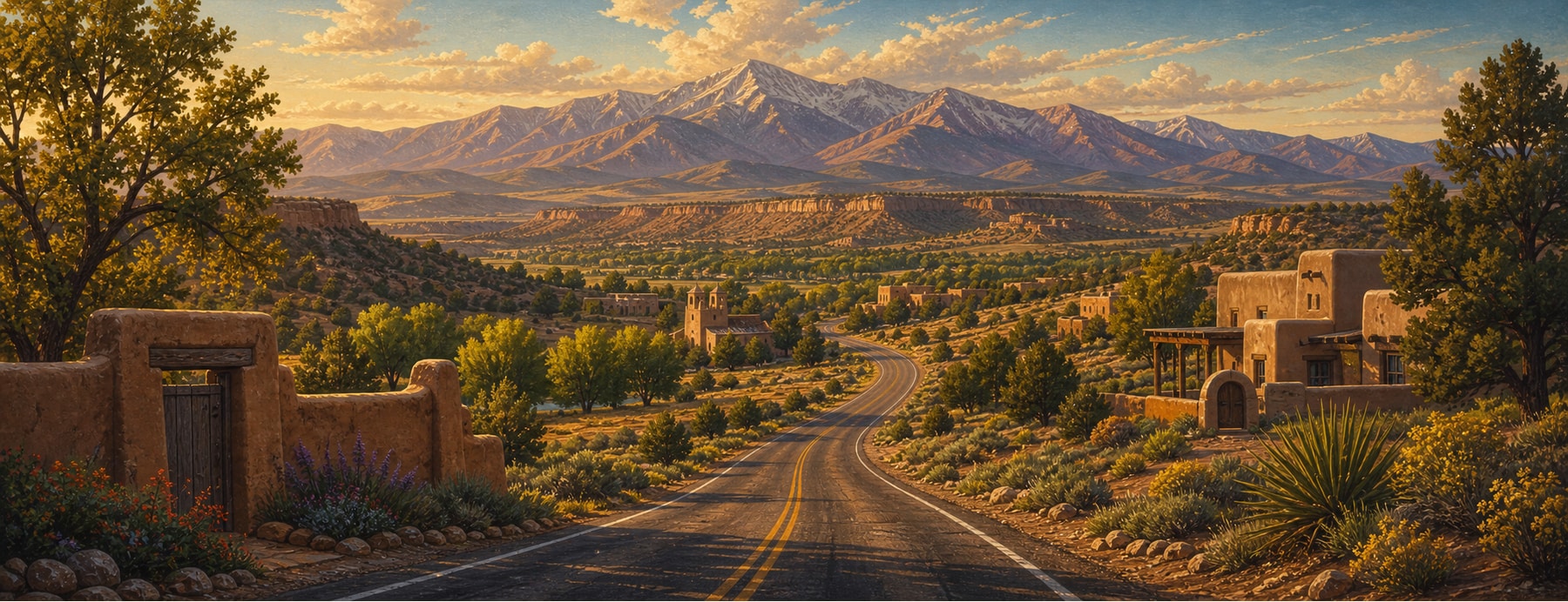
The High Road winds through the Sangre de Cristo Mountains between Santa Fe and Taos, trading the fast river route for a slow climb through centuries-old Hispano and Pueblo villages — Chimayó, Truchas, Las Trampas — where adobe churches, weaving, and santero art are still living traditions.
Good to know: A narrow mountain road — in winter snow, the low road (NM-68) is safer. Village shops and churches keep limited hours, and Taos Pueblo sets its own (it closes for ceremonies).
Mountain villages, adobe churches, and aspen gold.
One of the most culturally rich drives in the Southwest: 250-year-old mission churches, hand-woven Chimayó textiles, and artists’ studios, blazing gold with aspens in October.
States on this route
The signature stops
What to pull over for.
Plan the drive
Build your High Road to Taos trip.
Roamward turns the route into a real itinerary — the scenic line, the gems worth a detour in every state, and where to stay. Join early access for the iOS beta.
Build a trip around a drive like this.
Roamward turns spots like this into a real road trip on your phone — the scenic drive, the stops, and the detours, planned around the vibe you’re after. Get early access: