Hells Canyon Scenic Byway
Baker City loop, OR · ~210-mile loop · a full day+
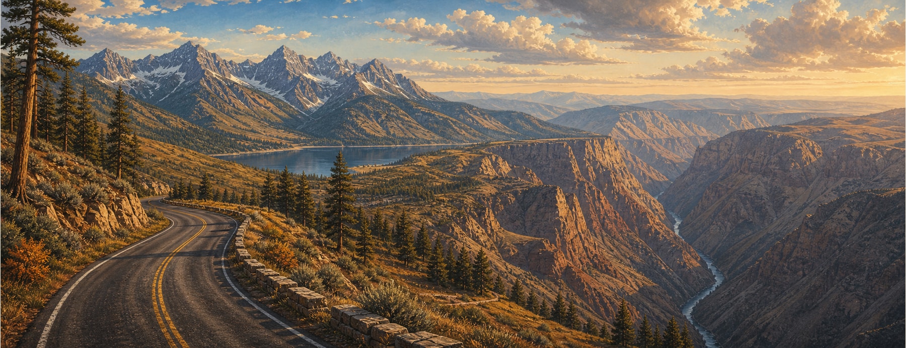
This ~210-mile All-American Road loops through Oregon’s far northeastern corner, encircling the glacier-cut Wallowa Mountains — the “Oregon Alps” — and reaching toward Hells Canyon, the deepest river gorge in North America at nearly 8,000 feet, carved by the Snake River even deeper than the Grand Canyon.
Good to know: The dramatic gorge overlooks (Hat Point, Hells Canyon) sit at the end of seasonal, partly-gravel Forest Service spurs, snow-closed much of the year — the paved loop gets you near the rim, not onto it.
The rim of North America’s deepest gorge.
It threads between the alpine Wallowas and the rim of the deepest river gorge on the continent.
States on this route
The signature stops
What to pull over for.
Plan the drive
Build your Hells Canyon Byway trip.
Roamward turns the route into a real itinerary — the scenic line, the gems worth a detour in every state, and where to stay. Join early access for the iOS beta.
Build a trip around a drive like this.
Roamward turns spots like this into a real road trip on your phone — the scenic drive, the stops, and the detours, planned around the vibe you’re after. Get early access: