Creole Nature Trail
Lake Charles / Sulphur loop, LA · ~180-mile network · a full day
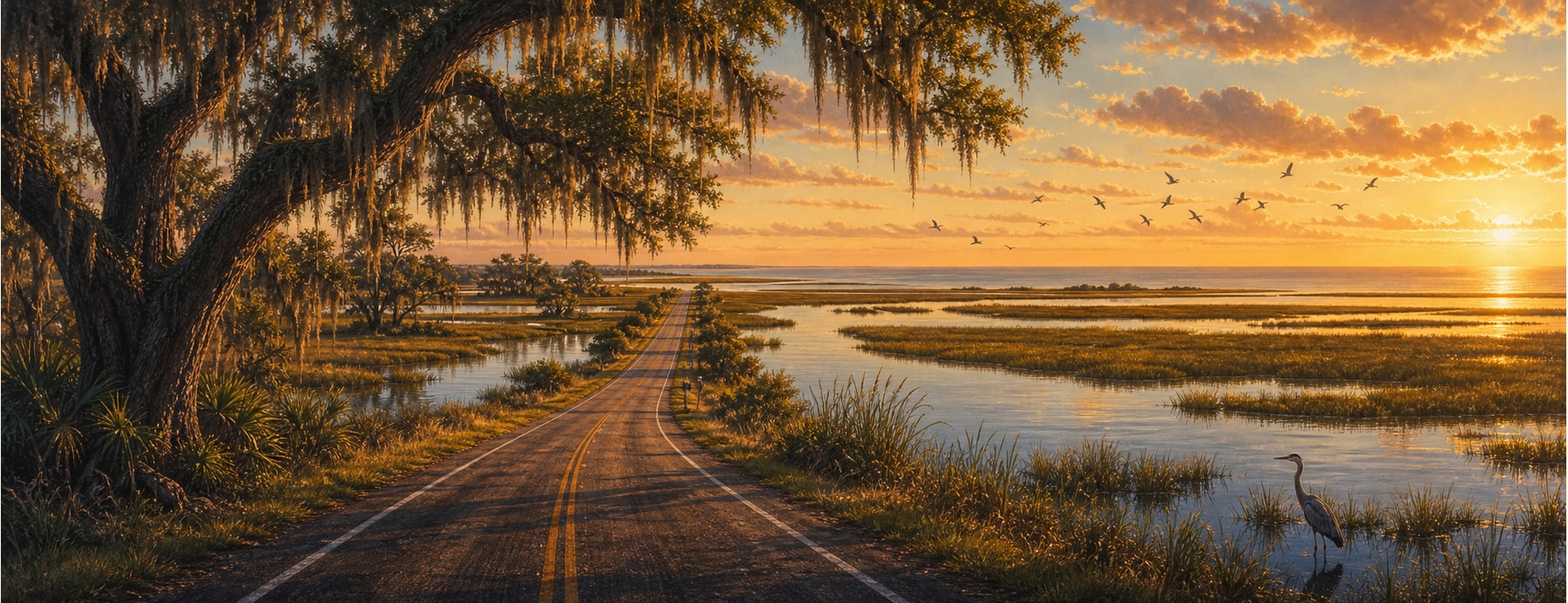
The Creole Nature Trail is a ~180-mile network of byways through the marshes and coastal wetlands of southwest Louisiana — one of only a few dozen roads with the federal “All-American Road” designation. Nicknamed “Louisiana’s Outback,” it threads four wildlife refuges and 26 miles of Gulf beach, thick with alligators and migratory birds.
Good to know: Some refuge boardwalks and the Cameron ferry are still recovering from the 2020 hurricanes — check current status. Bring bug spray, fuel up, and never approach the alligators.
Louisiana’s Outback — gators, birds, and Gulf beaches.
One of the few drives where you watch wild gators in the marsh, walk a boardwalk through a major bird flyway, and put your feet in the Gulf — all in one loop.
States on this route
The signature stops
What to pull over for.
Plan the drive
Build your Creole Nature Trail trip.
Roamward turns the route into a real itinerary — the scenic line, the gems worth a detour in every state, and where to stay. Join early access for the iOS beta.
Build a trip around a drive like this.
Roamward turns spots like this into a real road trip on your phone — the scenic drive, the stops, and the detours, planned around the vibe you’re after. Get early access: